
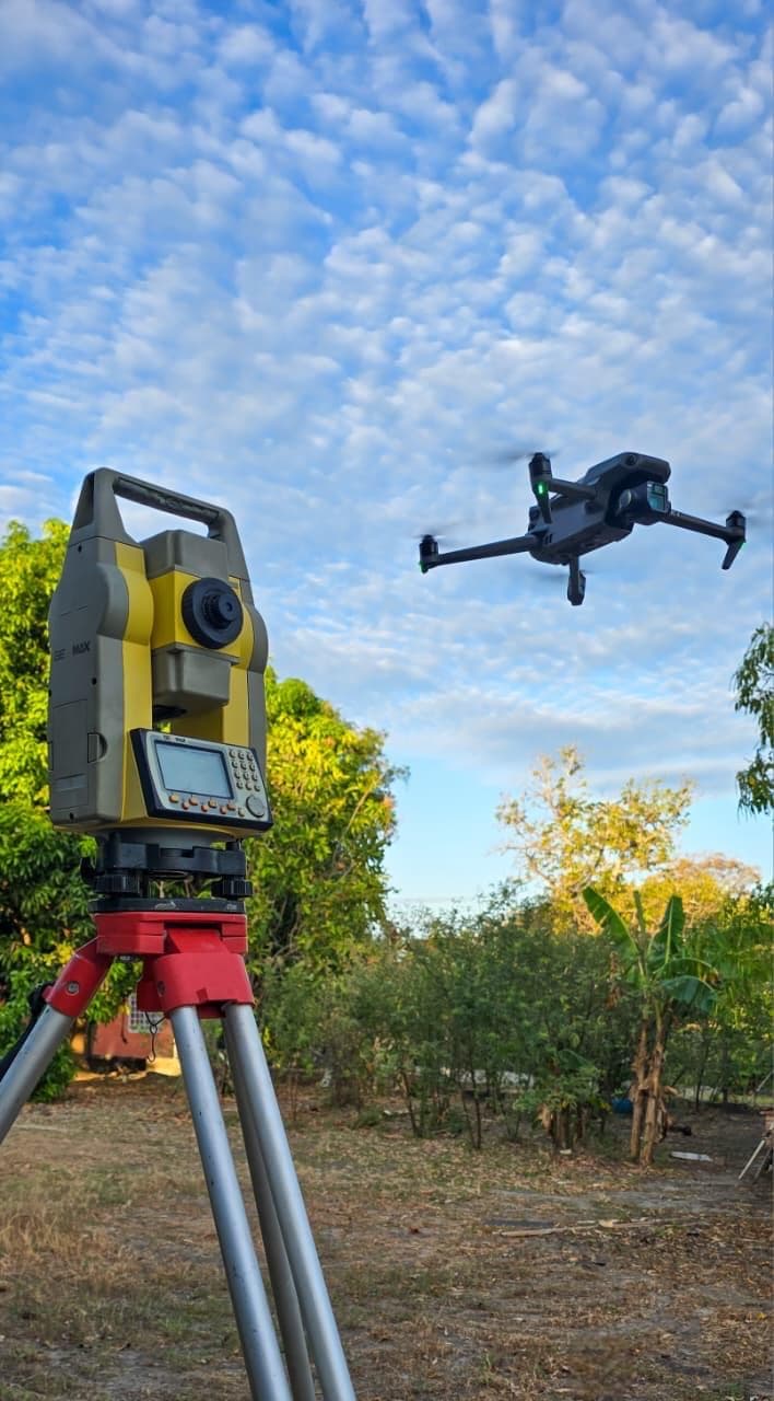
Service scope
We carry out drone surveys to generate precise technical information for studies, construction works and progress control.
Includes
Orthomosaics
Contour lines
Digital terrain models
Photographic surveys
Construction progress monitoring
Volume calculations
Contact
Do you have a project in mind?
Contact us to evaluate your project, schedule a technical visit or request a personalized quotation.