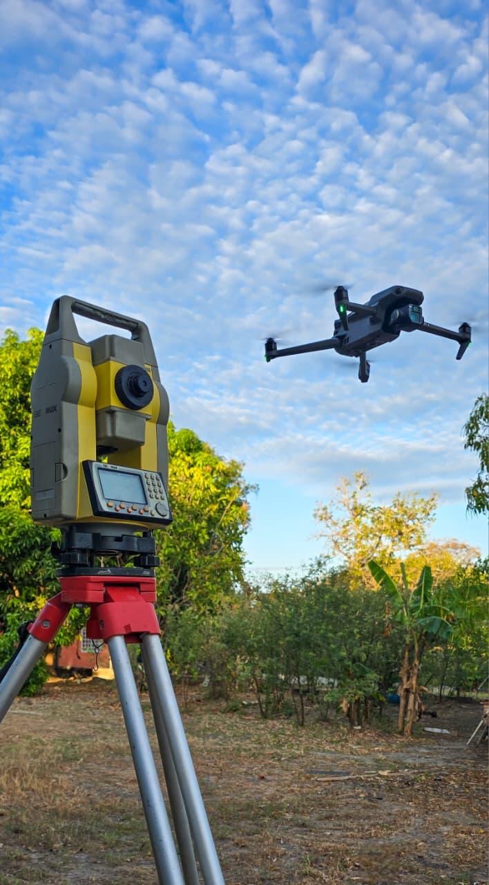
Drone survey and topography
Drone survey in Panama for construction sites, land and technical inspections
We perform drone surveys in Panama to obtain accurate information from land, construction sites and spaces that require technical analysis.
Drone survey in Panama
At MG Architecture & Engineering, we provide drone survey services in Panama, aerial surveys, technical inspections, photogrammetry and construction progress monitoring.
Drone surveys make it possible to obtain aerial images, orthomosaics, contour lines and digital terrain models, which are essential tools for planning, measurement and control.
This service is useful for topographic studies, volume control, roof inspection, construction monitoring, land measurement and technical documentation.
We combine drone technology with technical criteria to deliver clear and reliable information that supports better decisions before and during project execution.
If you need a drone survey in Panama, aerial inspection or construction photogrammetry, we can help you obtain accurate data and high-value visual information.
Related services
Service areas
We work in Panama and surrounding areas
Frequently asked questions
Common questions
What is a drone survey used for?
It is used to obtain visual and technical information from land or construction sites, including orthomosaics, contour lines, digital models and progress monitoring.
Do you perform roof inspections with drones?
Yes, drones make it possible to inspect roofs, elevated areas and hard-to-access zones in a safer and more efficient way.
Contact
Do you have a project in mind?
Contact us to evaluate your project, schedule a technical visit or request a personalized quotation.